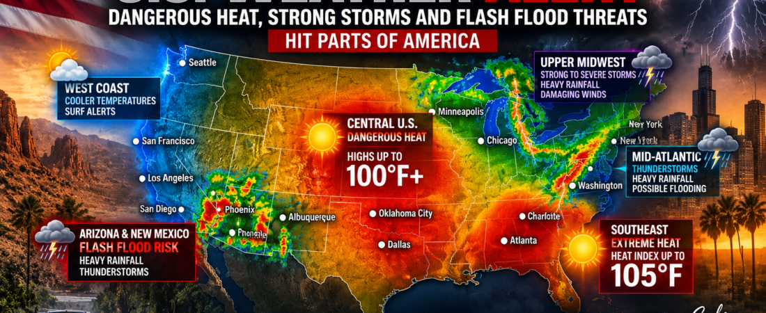
Millions of Americans are facing a mix of dangerous heat, strong thunderstorms and potential flash flooding as unsettled weather impacts several regions of the United States this weekend.
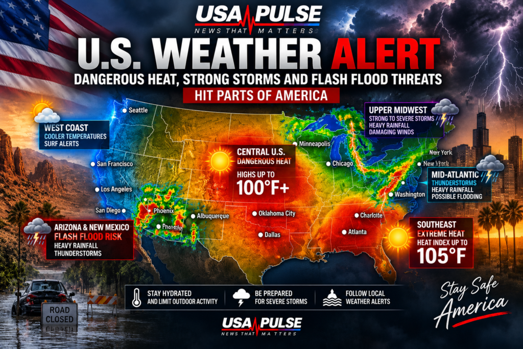
According to the National Weather Service, rounds of strong to severe thunderstorms and locally heavy rainfall are expected to shift southward across parts of the Upper Midwest and Mid-Atlantic during the first half of the Labor Day weekend.
Some storms could bring damaging winds, heavy rainfall and dangerous lightning.
Meanwhile, intense heat remains a major concern across parts of the central and southern United States.
In parts of Oklahoma, temperatures are expected to reach around 100°F on Saturday, with heat index values potentially climbing to approximately 104°F. Heat advisories are in effect in some areas.
The Carolinas are also dealing with dangerous temperatures. Around Charlotte, North Carolina, temperatures could approach 98°F, while the heat index may reach around 105°F before thunderstorms develop later in the day.
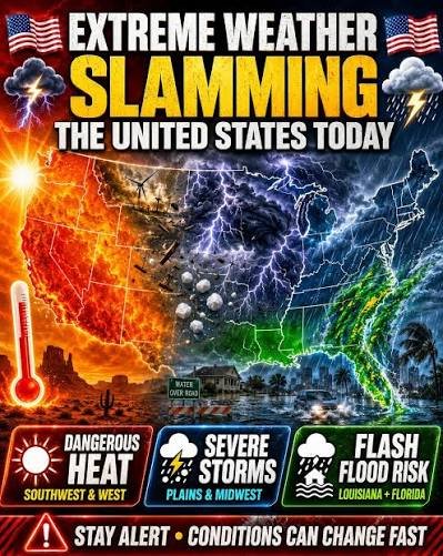
In the Desert Southwest, monsoonal moisture is creating another weather threat. Parts of Arizona and New Mexico could experience scattered flash flooding as thunderstorms produce locally heavy rainfall.
Farther north and east, cooler air is beginning to spread into parts of the West Coast and Northeast behind a changing weather pattern.
The National Weather Service is urging people in affected areas to remain aware of local forecasts and weather alerts, especially during outdoor Labor Day weekend activities.
People in areas affected by extreme heat should stay hydrated and limit prolonged outdoor activity, while anyone under a severe thunderstorm or flash flood warning should seek safe shelter immediately.
Weather conditions can change quickly, so residents and travelers should continue monitoring local National Weather Service alerts throughout the weekend.
USA Pulse will continue following major weather developments across the United States.